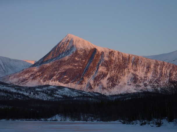
Stuorajávrrigáisi / Storvasstinden (1244), Balsfjord.
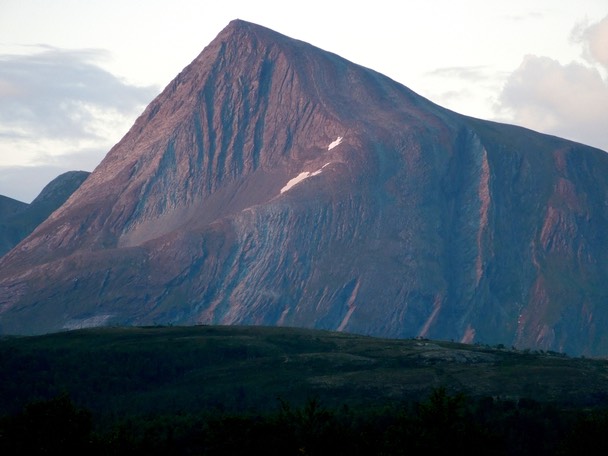
Stuorajávrrigáisi´s West face as seen from Strupen.
The normal route follows the South ridge (right hand skyline) which is an easy walk.
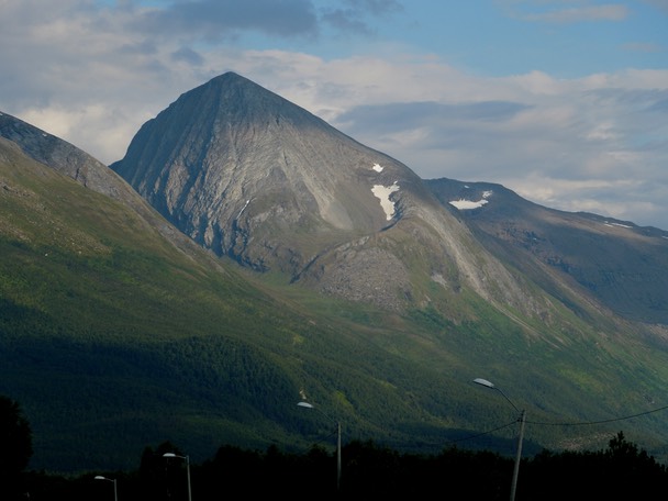
Stuorajávrrigáisi´s North face (left) and West face (right) as seen from Storsteinnes.
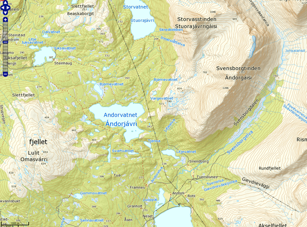
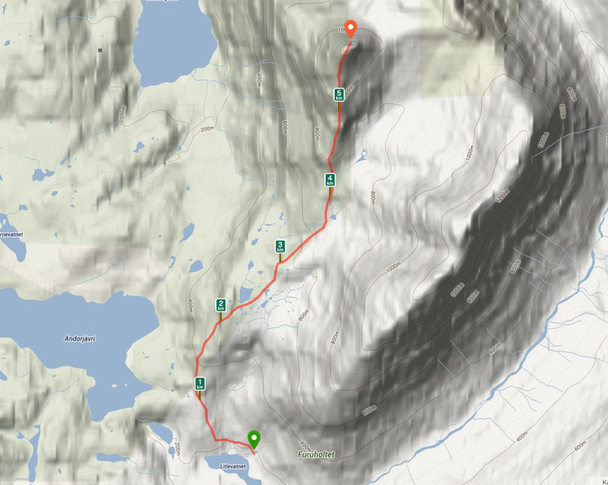
My route starts from the lake Litjevatnet near the old farm Svendborg (see the map) and follows the forrested ridge in dense old growth forest towards point 571. From there you will have the first view of the South ridge.
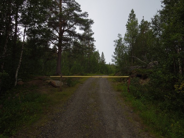
The old farm road starting from Neset near Fjellfrøsvatnet has a gate on it, but it was not locked… You can also ride a bicycle on this excellent road all the way to Litjevatnet.
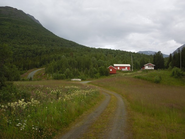
The old farm Svendborg. Turn sharp left here and continue towards Litjevatnet.
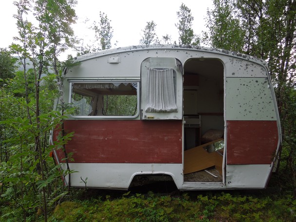
Don´t be scared when you see this old caravan by the road.
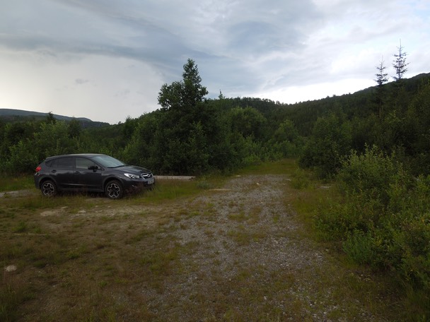
This is where I parked. The road continues for a few hundred meters before the bush takes over.
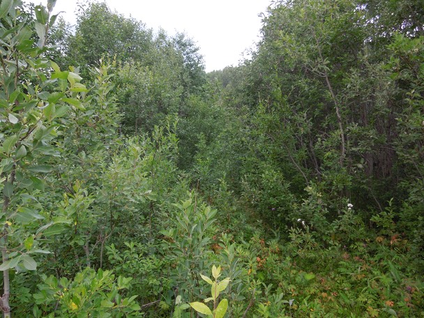
Deliverance meets Into The Wild. Bring a GPS and a machete. I actually got lost for a while on my way back.
There is a path marked on the map, but I don´t think it´s much in use anymore.
What a relief to get above the bush line to easier terrain. This is the lake Andorvatnet / Ándorjávri from point 571.
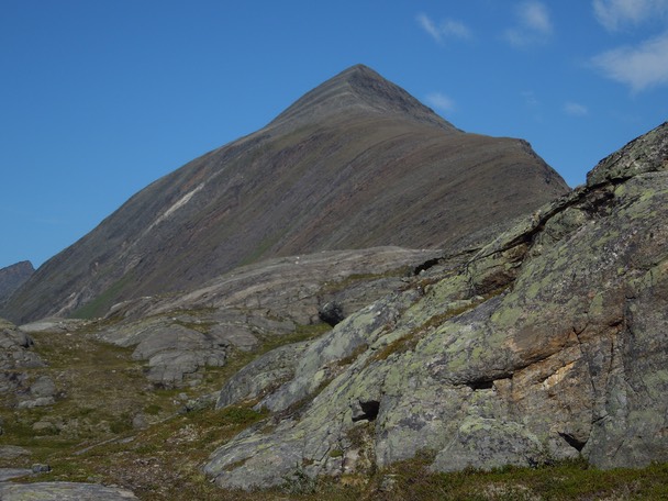
The first view of Stuorajávrrigáisi and the South ridge.
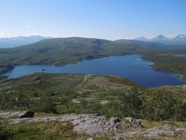
Looking down the ridge towards the lakes Fjellfrøsvatnet (left) and Andorvatnet (right).
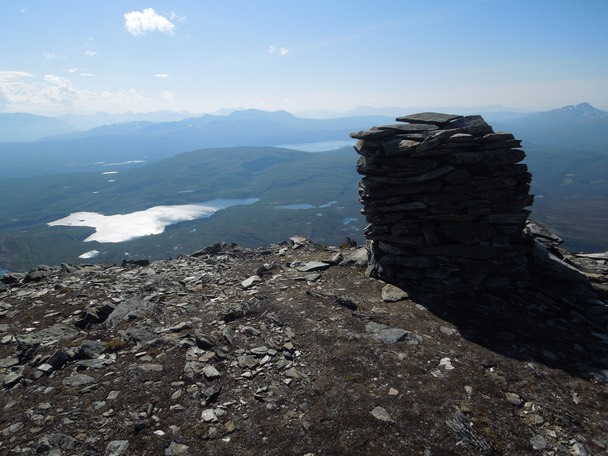
The summit cairn.
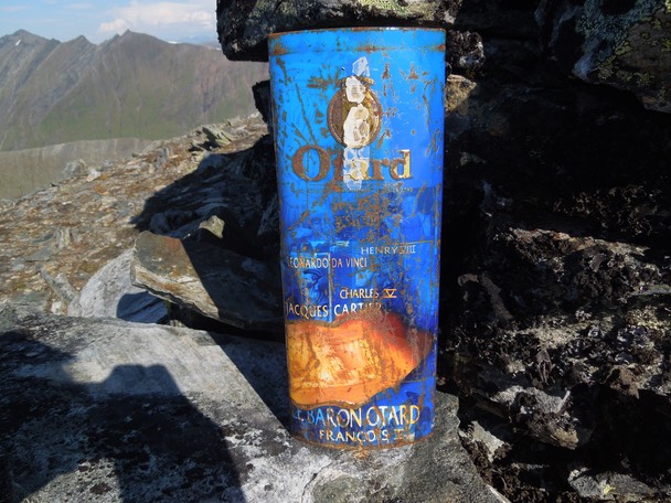
The summit book was enclosed in an old Otard conjac metal canister from the 1960s.
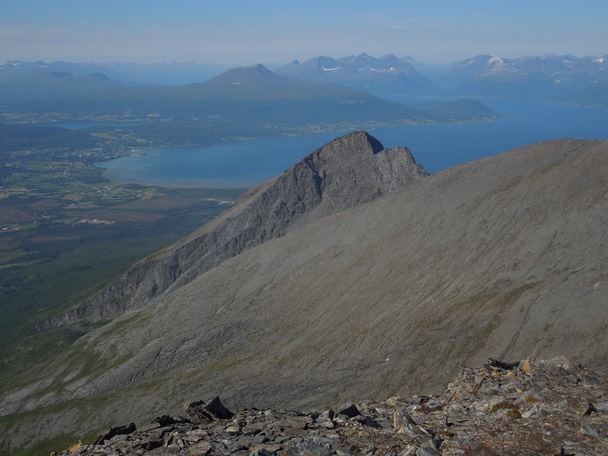
Høltinden (1033) and Balsfjorden.
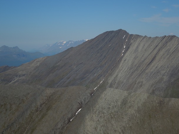
Rakeltinden (1400).
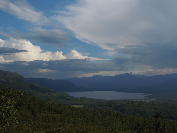
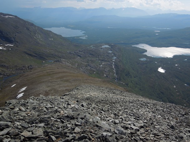
Thunderclouds above Fjellfrøsvatnet.
Stuorajávrrigáisi in winter.
Climbed 27. July 2013.
Distance to the summit: 5.8 km. Time: 1:49.