Stortinden / Stuorgáisa (1320), Tromsø, Norway


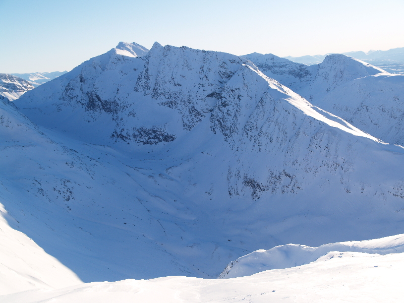
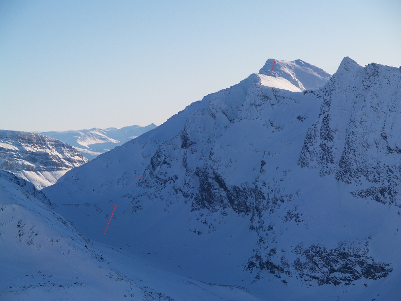
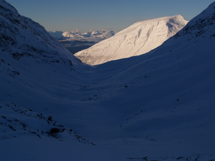
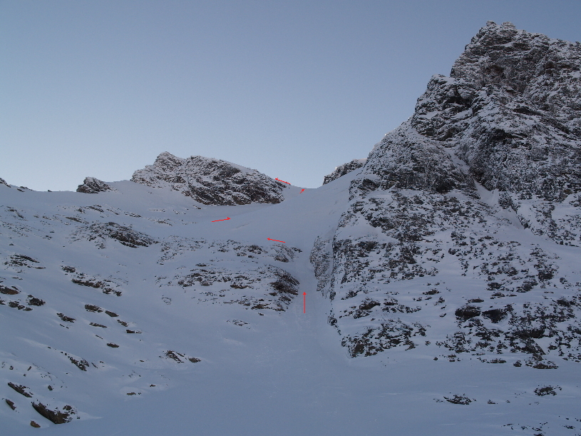
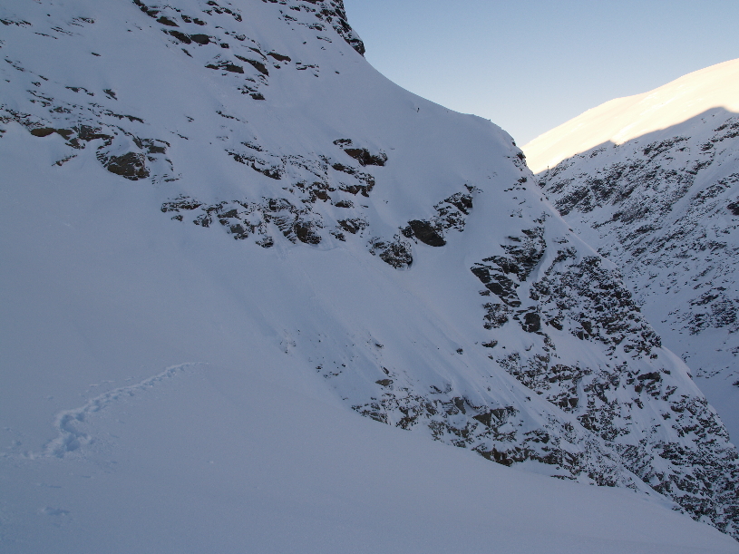
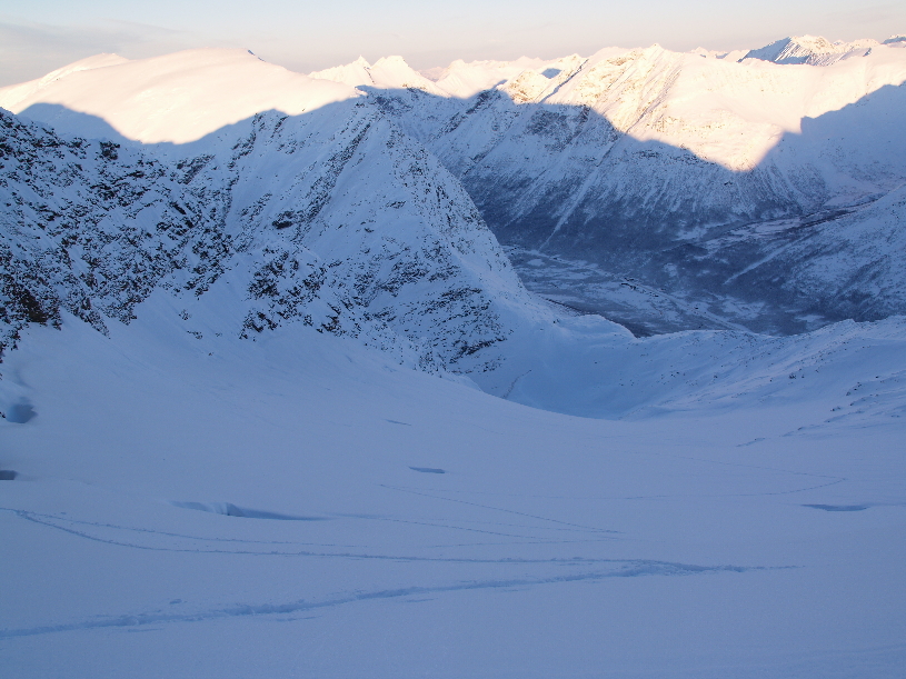
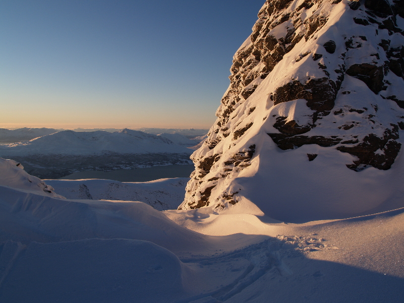
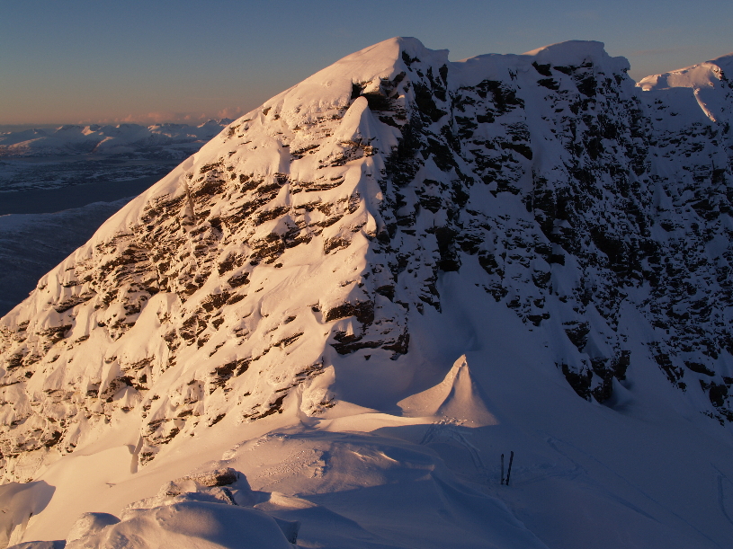
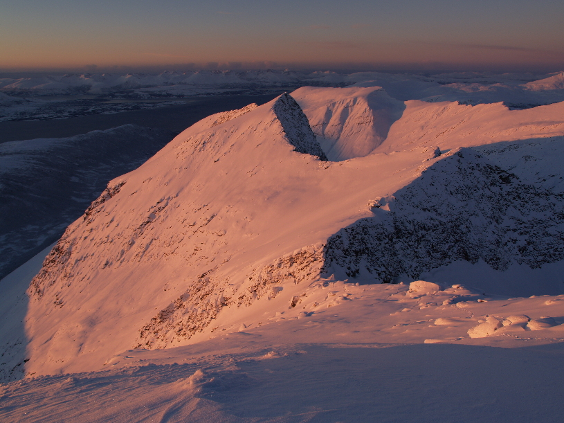
Stortinden is situated on the East side of Andersdalen, approx. 25 km south of Tromsø.
My route starts from nedre Finnjorda in Andersdalen and follows the valley Doaresvággi (Tverrbotn) for 6-7 km up to the col north-east of the summit. From the col the route follows a short gully (35 degrees) up to the glacier Stuorgáisejietnja and continues on the glacier up to a notch only 250 m north of the summit. The last bit follows the north ridge to the summit.
Climbed 29. October 2012.


The valley
Doaresvággi and the North face of Stortinden from Gorželvtinden (1072).


From the col the route follows a short gully (35 degrees) up to the glacier and continues on the glacier up to a notch only
250 m north of the summit.  The last bit follows the north ridge to the summit.


Looking down
Doaresvággi towards Gorželvtinden (1072).


The gully (35 degrees) that leads up to the glacier
Stuorgáisejietnja.


On the glacier.


Looking down the glacier towards Lavangsdalen. Beware of the crevasses.


The notch to the North of the summit.


Left my skis here.


The north ridge, a nightmare of knee-deep snow.


Sunset on the summit.


The summit.


Looking down the North ridge towards the notch and Stuoračorru (1246).


Looking east.


Bibliography:
Sveen, Stine Benedicte. (2003). Reinen, reineieren og reinbeitelandet. Hovedfagsoppgave i arkeologi. Universitetet i Tromsø.


© Geir Jenssen 2012

home