Segla (640), Senja.
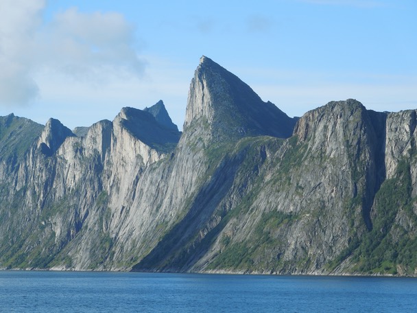
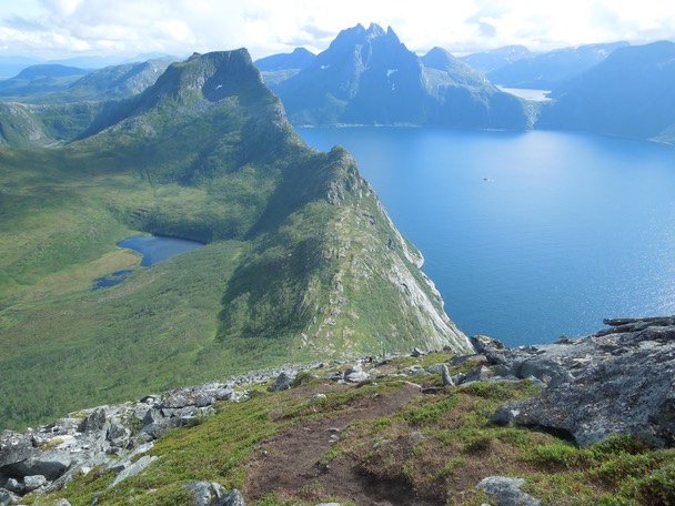
Segla as seen from Mefjorden. The normal route follows the south ridge (facing the camera) to the summit.
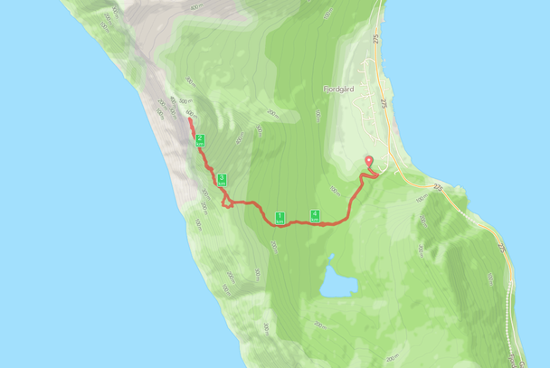
A short route description: start from the school building in Fjordgård and follow a marked path to the Col (350) between Segla and Heia. From the Col follow the South ridge to the summit. It may look very steep, but it is actually an easy walk.
Distance to the summit: 2,3 km. Climb: 615 m. Duration: approx. 60 min.
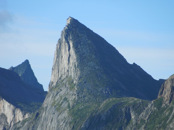
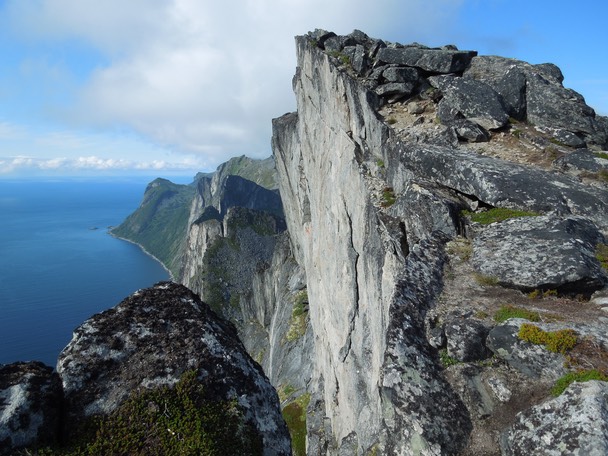
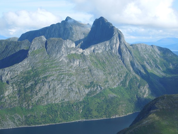
A close-up of the South ridge.
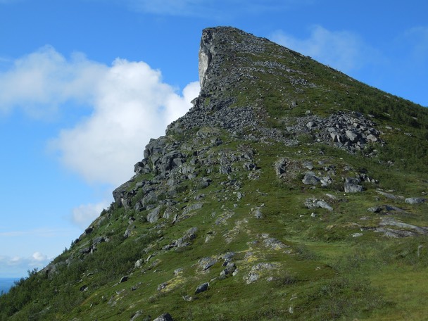
The South ridge from the Col.
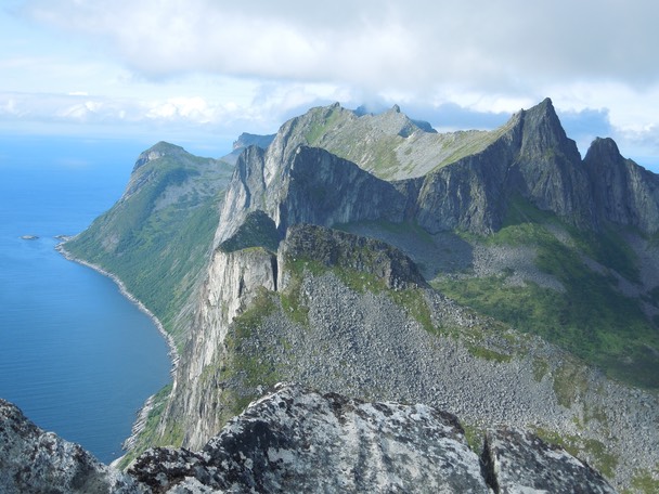
A view from the South ridge towards Barden (659) and Breidtinden (1001).
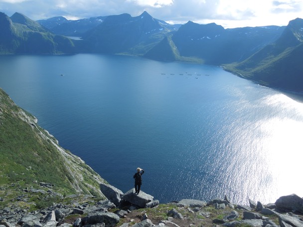
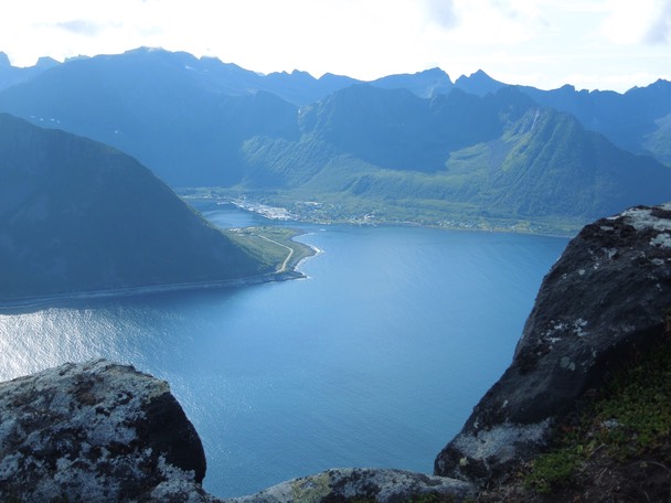
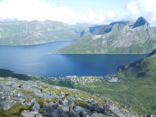
Mefjorden.
The summit.
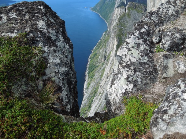
Looking down the West face.
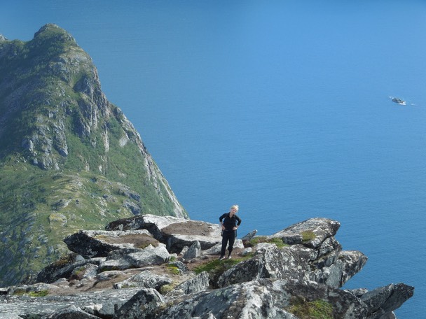
On the summit ridge.
Senjahopen.
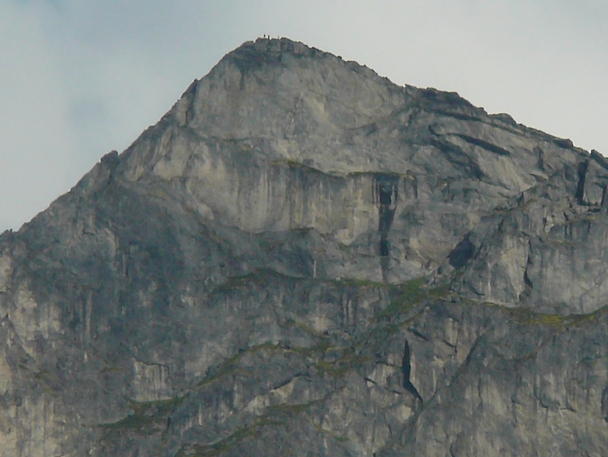
We called Knut Fjørtoft from the summit and asked him to take a telephoto shot from Senjahopen.
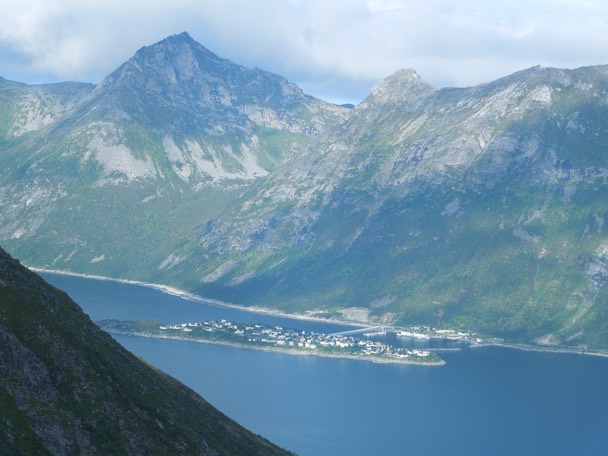
Mefjordvær.
Looking North from the summit towards Kongen (738).
Grytetippen (885).
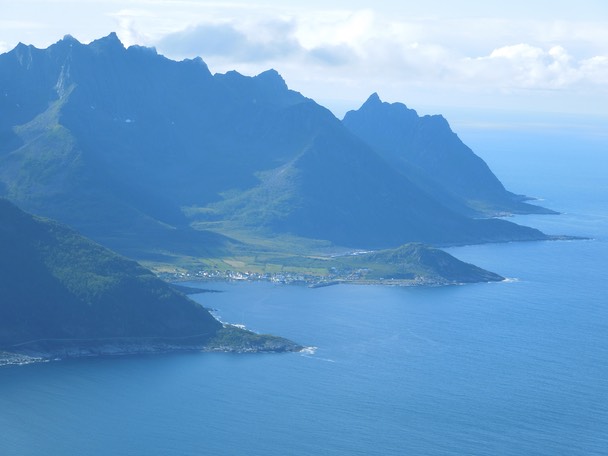
Husøy.
Fjordgård.
Climbed by Hanne Brochmann and Geir Jenssen, 17. August 2014.