Rakeltinden / Guvggosvákkigáisi (1400), Balsfjord.
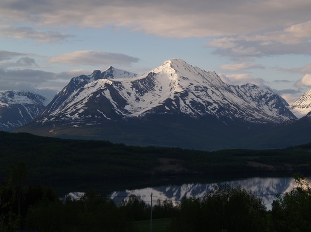
Rakeltinden (in spring) as seen from Josefvatnet. The normal route follows the NW ridge - Markenesaksla - (facing the camera) all the way to the summit.
Follow the gravel road from E6 near Gåre towards Markenesdalen. There is a well marked path (red paint) that is also marked on the map. Actually, the "path" is not so well marked when it crosses a very boggy area at around 350 m. Bring waterproof shoes! Or you can walk straight up towards Markenesaksla and join the path there. The ridge is just a pleasant walk on easy terrain with a few sections bordering on scrambling near the summit plateau. This part is no steeper than 35-40° though.
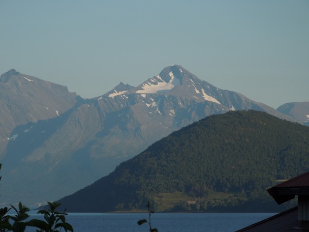
Rakeltinden from Kantornes with the NW ridge to the right.
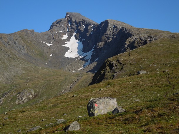
The NW ridge from Markenesaksla.
"Slab climbing".
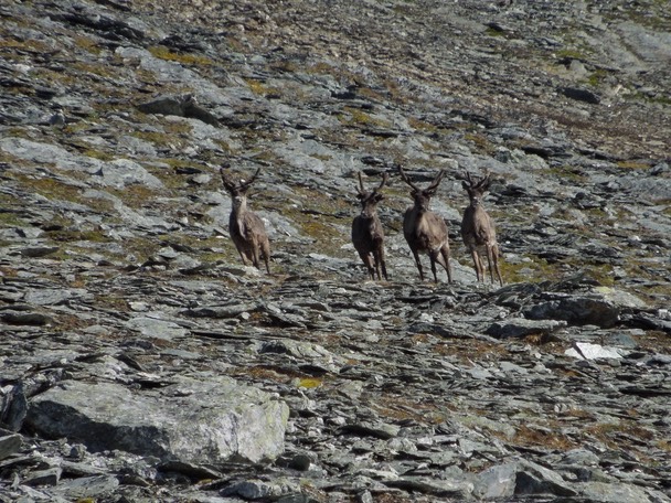
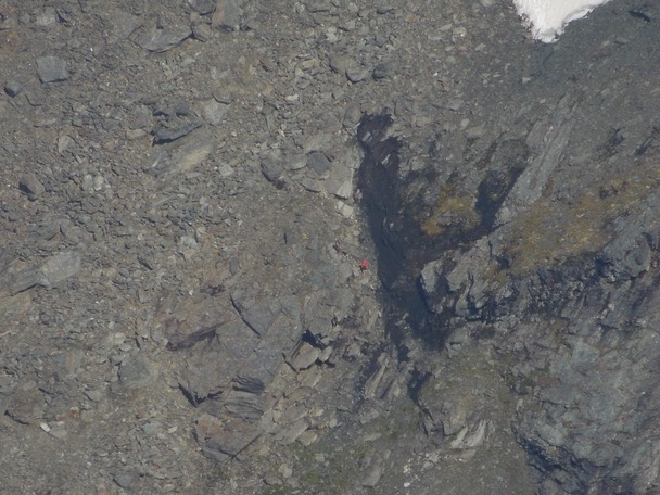
Attacked by reindeers.
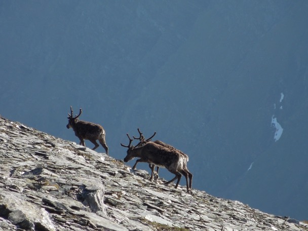
Where do they find food?
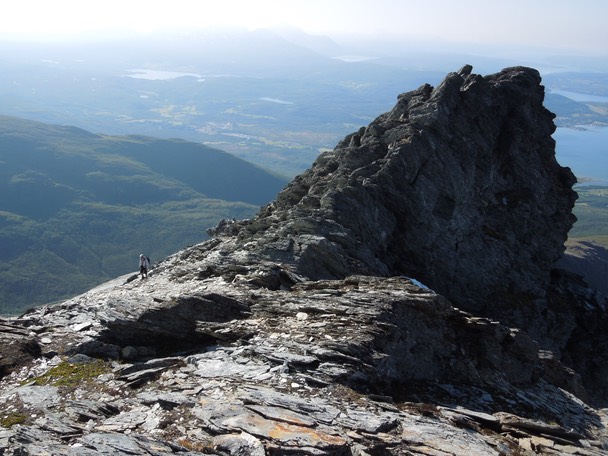
On the NW ridge.
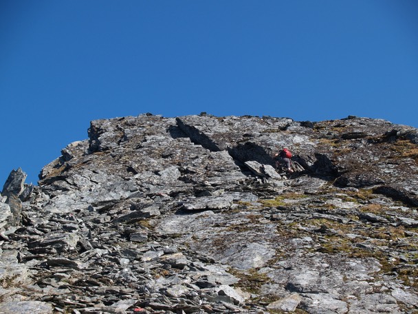
Easy scrambling just below the summit plateau.
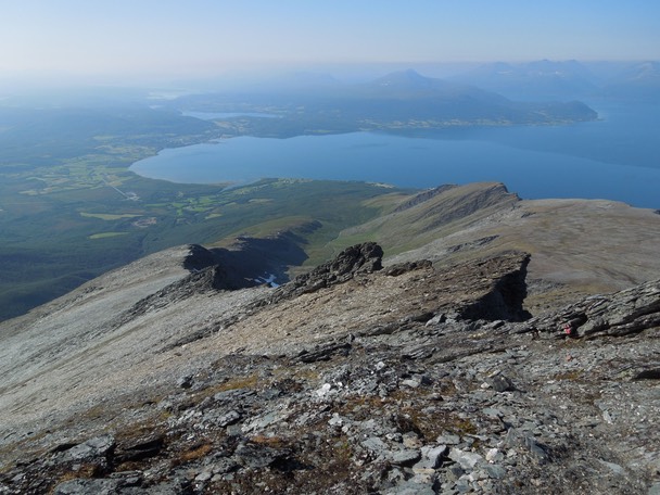
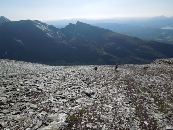
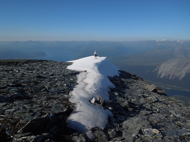
Looking down the NW ridge from the summit plateau.
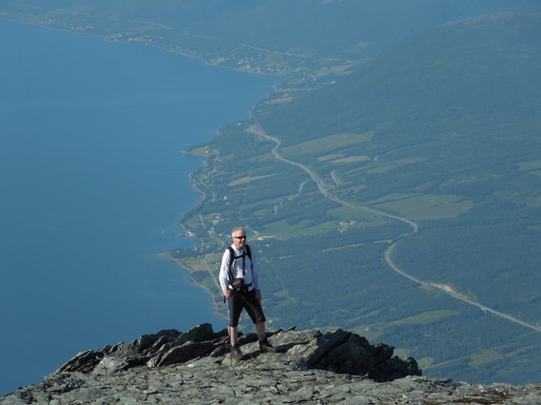
Bjørn on the summit plateau.
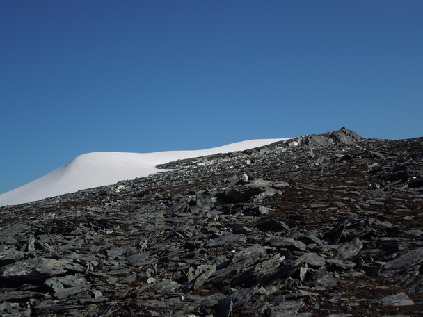
The summit plateau with the summit cairn to the right.
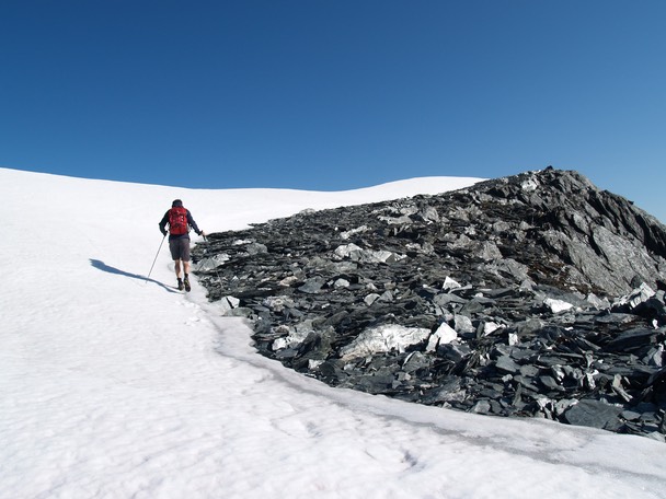
"Glacier walking".
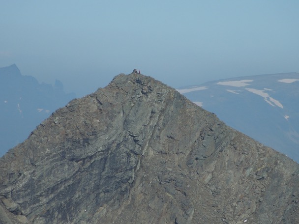
The summit "knife edge".
Two people on the summit of Store Russetinden.
Two people and a dog descending from Store Russetinden.
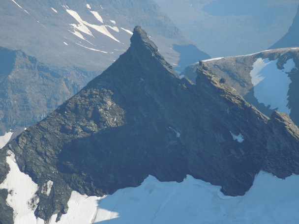
The pointy Markenestindene.
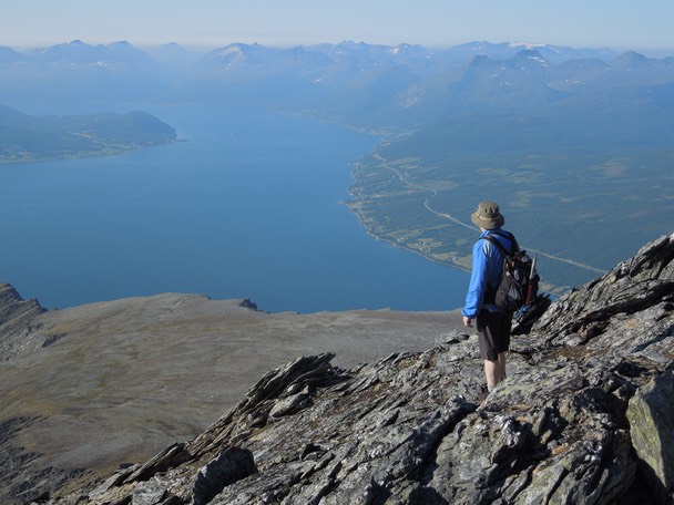
Balsfjord.
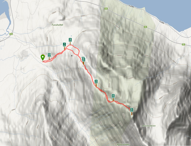
Distance to the summit: 5 km.
Bjørn Arntzen and Geir Jenssen, 24. July 2013.