Store Russetinden (1405), Balsfjord.
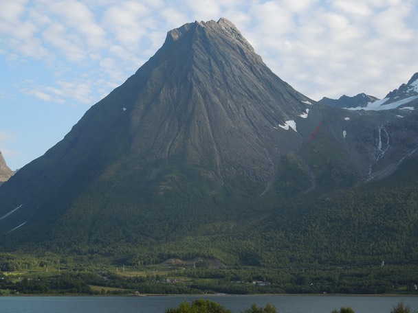
Store Russetinden from Hamnes, Balsfjorden. It looks very steep, but the normal route on the West face is no steeper than 35-40°, i.e. climbing gear is not necessary, at least not in summer.
Store Russetinden.
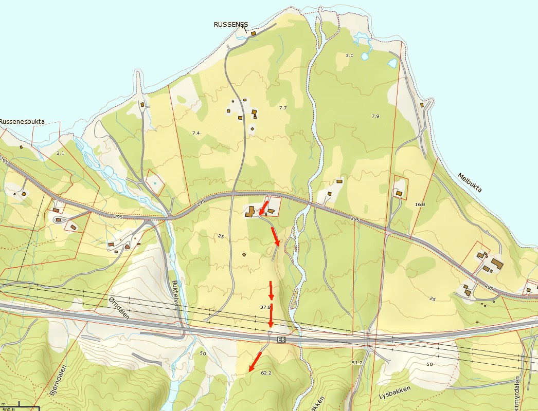
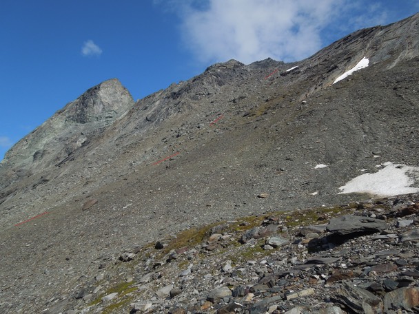
There are two rivers coming down from the valleys on each side of Store Russetinden. To avoid crossing them, it is important to start somewhere in-between these rivers. This map shows the best route, completely avoiding the E6 road. The dirt road south of E6 soon dwindles into a path. At 150 m it splits into two paths. This can be really hard to see due to the undergrowth. Take the path that turns right and follow it towards the moraine under the West face. The path disappears around 5-600 m and the route continues on unmarked scree slopes to the summit.
Russenes.
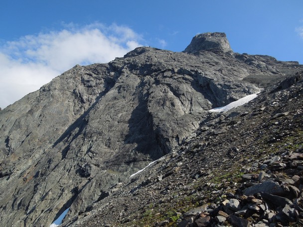
The NW face.
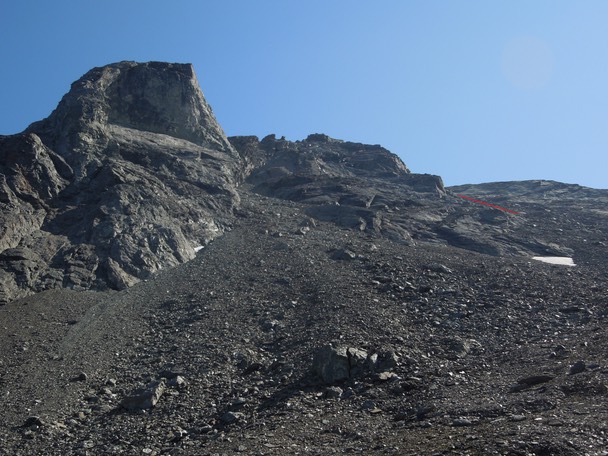
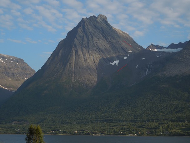
The red arrow marks the way up the West face.
The West face looks very steep from Rakeltinden, but it is actually no more than 35-40°, i.e. it´s just a steep walk.
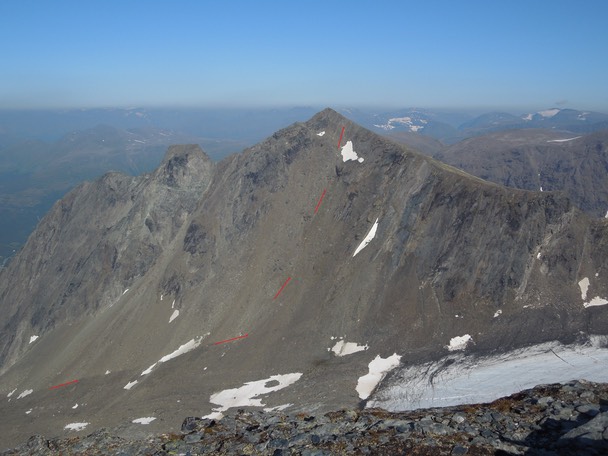
The same section, but here seen from the edge of the Russetinden glacier.
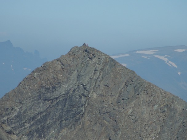
Two people on the summit. Photo taken from Rakeltinden.
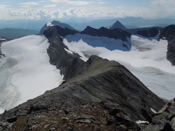
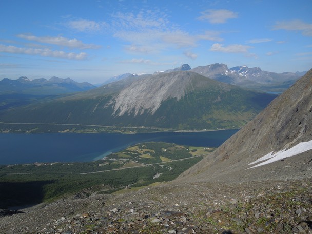
A view from the summit towards Markenestindan.
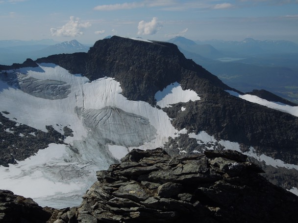
The fore summit (1311), most likely unclimbed.
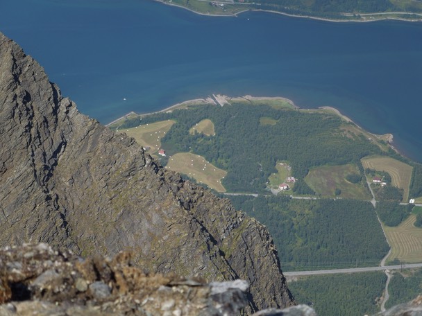
Russeneset.
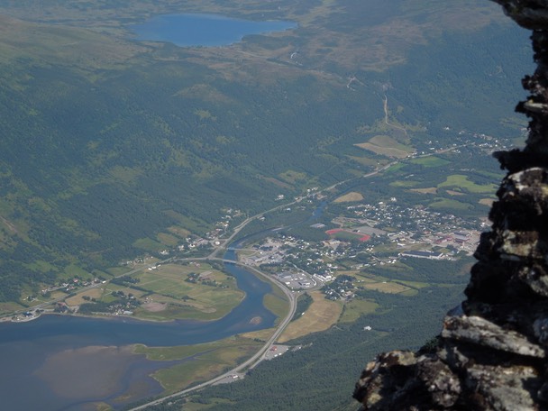
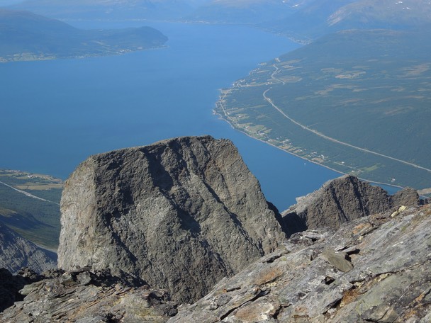
Nordkjosbotn.
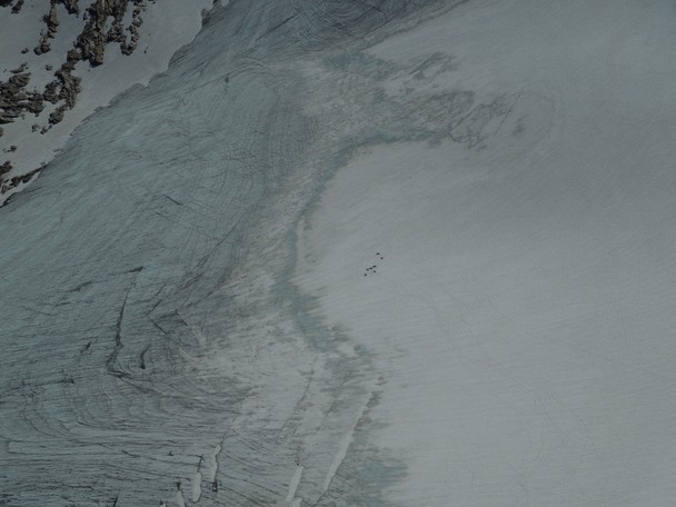
Reindeer cooling down on a glacier.
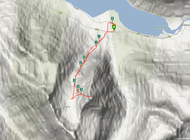
Distance to the summit: 3.5 km. Time: 1:48.
Climbed 25. July 2013.
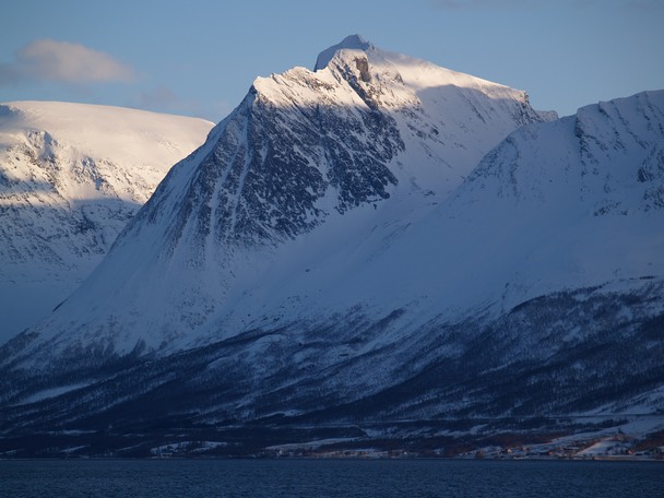
Store Russetinden in winter.
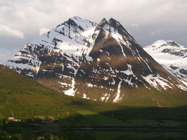
Store Russetinden in spring.