Goahteorotráŝŝa (1371, 1384 and 1426 m), Storfjord.
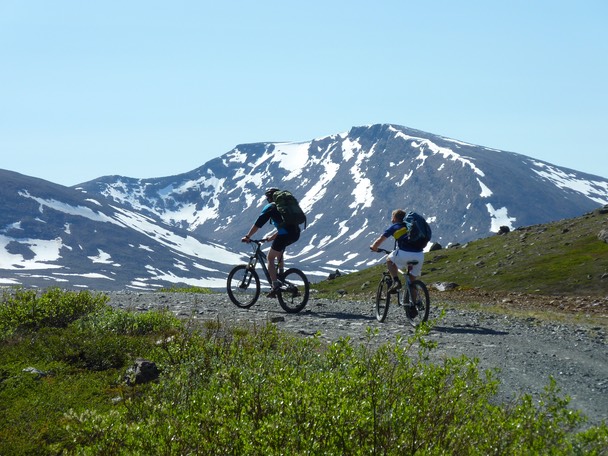
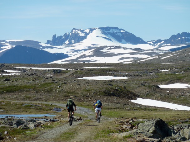
Goahteorotráŝŝa is situated to the south of the valley Lávkavággi near the Finnish border. The mountain has a very long approach - 15 km to the foot of the mountain - but the good thing is that you can ride a bicycle on a good gravel road all the way from E6 in Skibotndalen (see the map at the bottom of this page).
Looking towards Goahteorotráŝŝa´s West summit (1371).
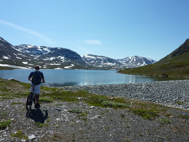
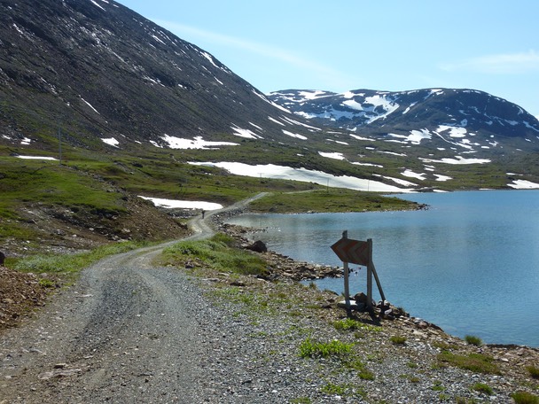
The lake Lávkajávri (614). The gravel road follows the left side of the lake.
Looking towards Goahteorotráŝŝa´s Middle summit (1384).
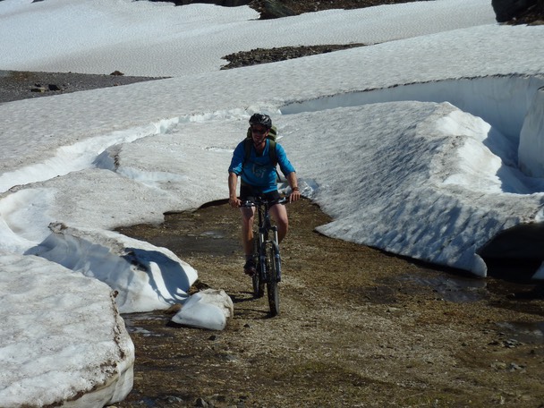
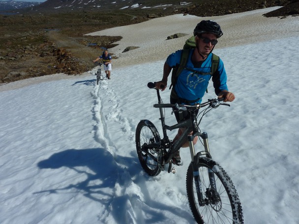
Still a few patches of snow here and there.
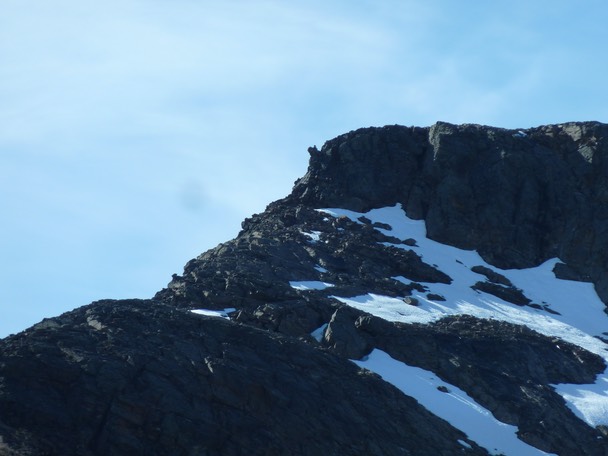
Looking towards Mannfjellet.
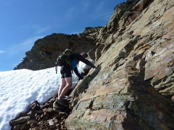
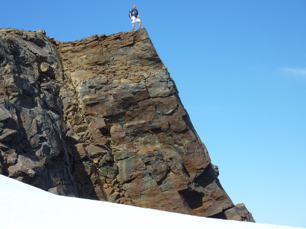
The plan was first to scramble the East ridge on the West summit, but we soon realized that we should have brought climbing gear.
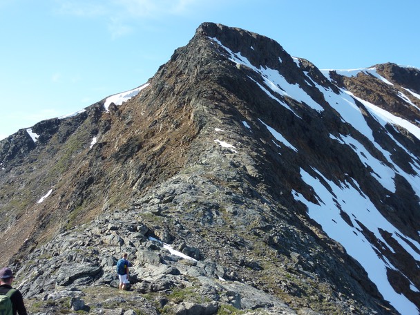
The East ridge became too steep near the summit plateau, but we managed to traverse the South face (left) towards the upper snow patch on the South ridge.
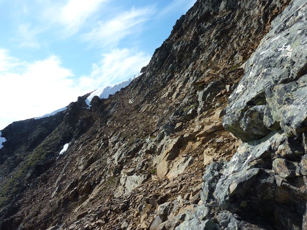
Not my favourite terrain: loose , steep scree.
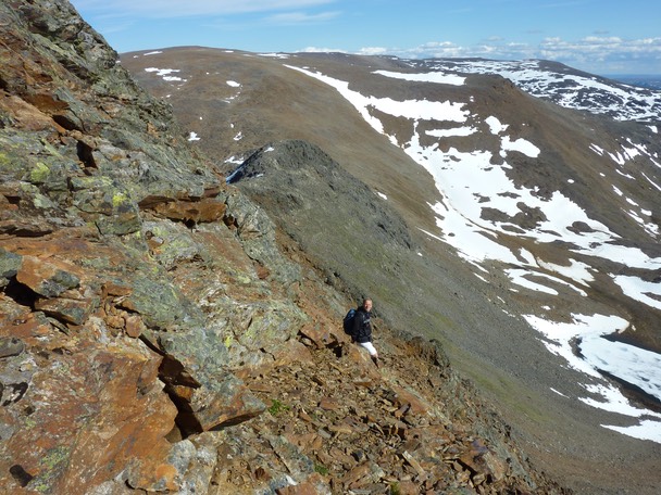
Kent-Hugo Norheim is traversing the South face.
Iver Martens near the end of the traverse..
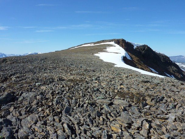
The summit plateau on the West summit.
Near the West summit.
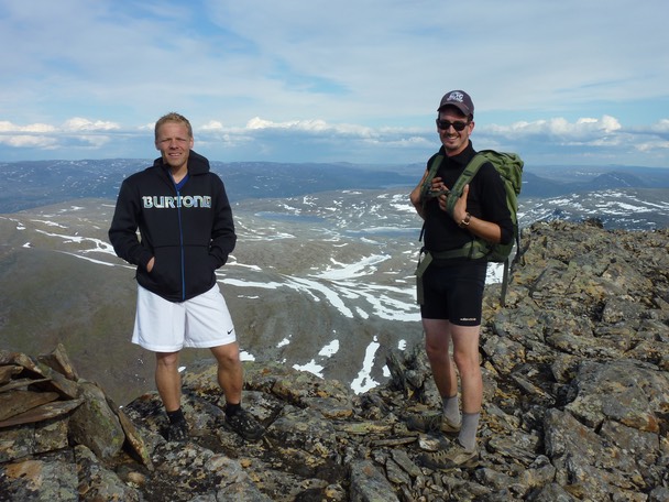
Kent-Hugo Norheim and Iver Martens on the East main summit (1426). The Middle summit and the East summit were both just an easy walk.
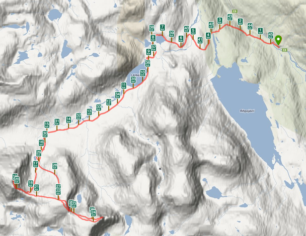
Total length: 45.5 km. Time: 8:15.
Iver Martens, Kent-Hugo Norheim and Geir Jenssen, 13. June 2013.