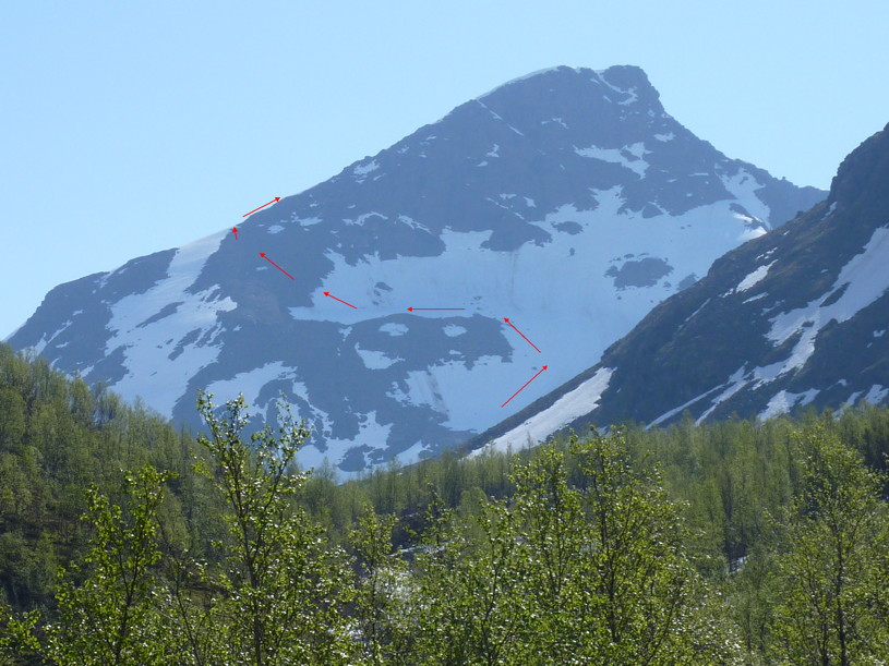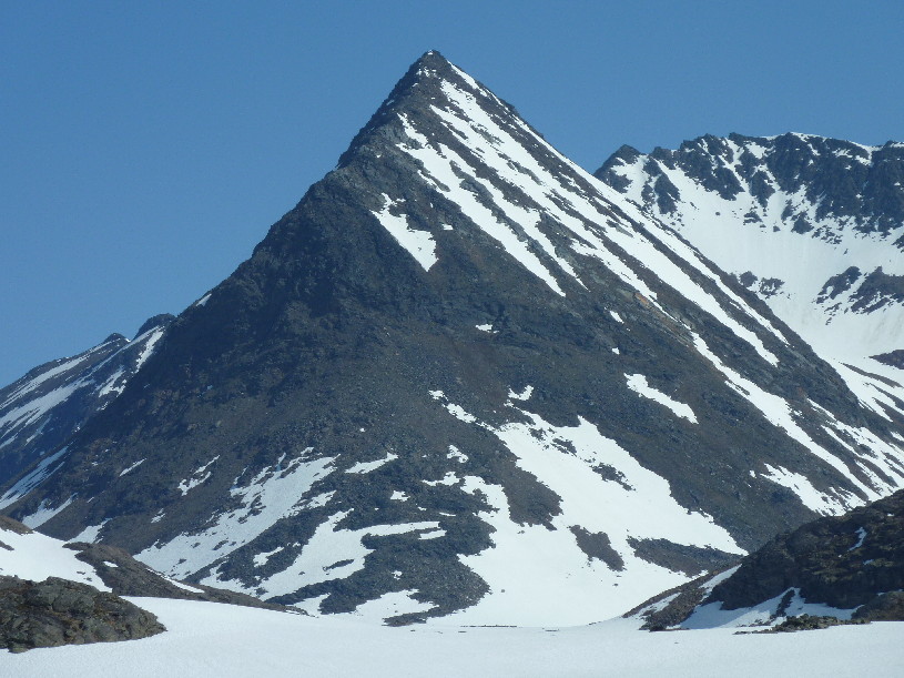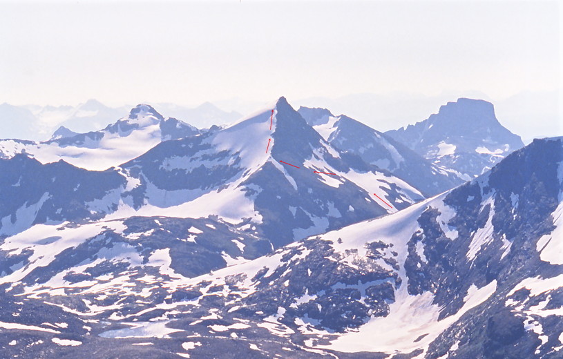
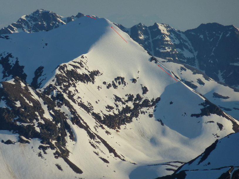
Gaskagaisa as seen from Saltdalstinden (1244). The west face / north ridge route is marked with red arrows.
| A
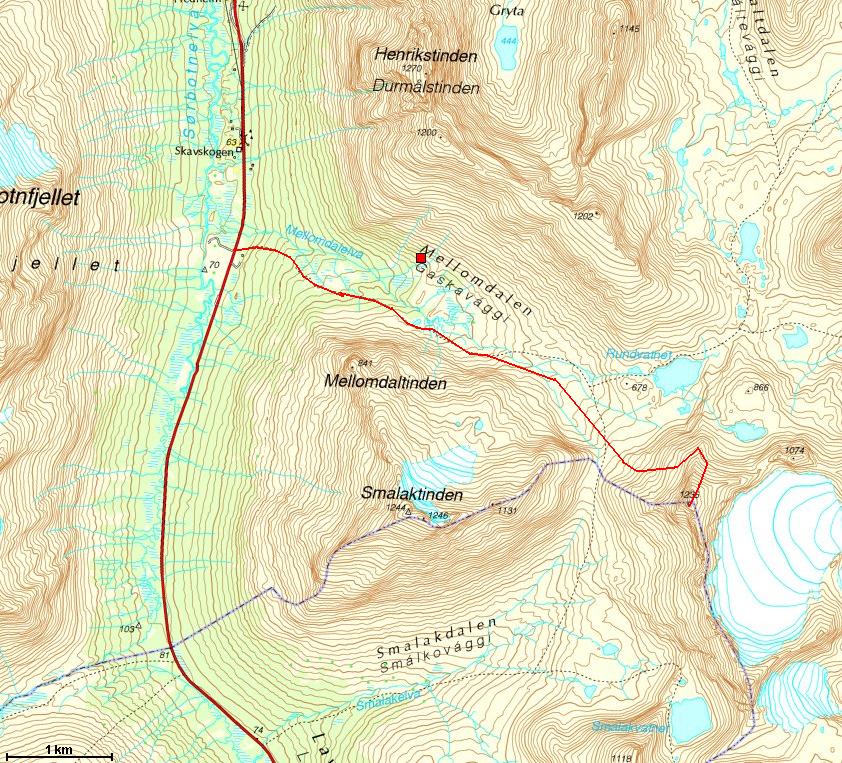
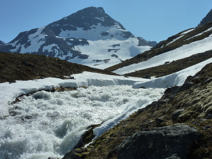
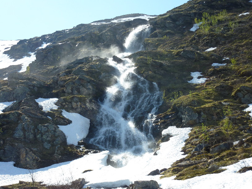
brief description of the route: there´s a parking lot (at least
in summer) in
Lavangsdalen just south of Mellomdalselva. Follow the dirt road that
soon dwindles into a path on the south side of the river. The path is
almost invisible in places - there is not much traffic in this valley
anymore - but the terrain is relatively easy. In summer bring
waterproof shoes as you will have to cross many wet areas in the
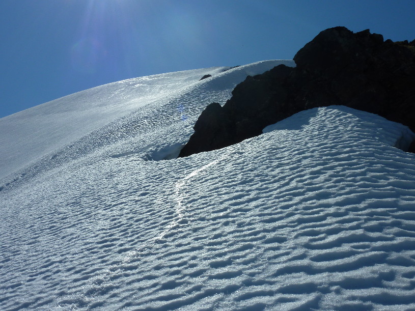
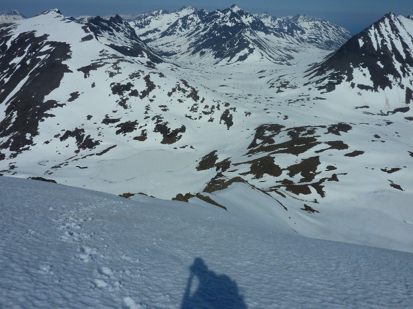
valley. The snow field (scree later in the season) on the west face is approx. 30-40 degrees. The upper part of the north ridge is slightly steeper. Keep well to the left to avoid the cornices hanging over the west face. Also: beware of a few crevasses on the north side. Bring an ice axe and a pair of crampons just in case of icy conditions. |
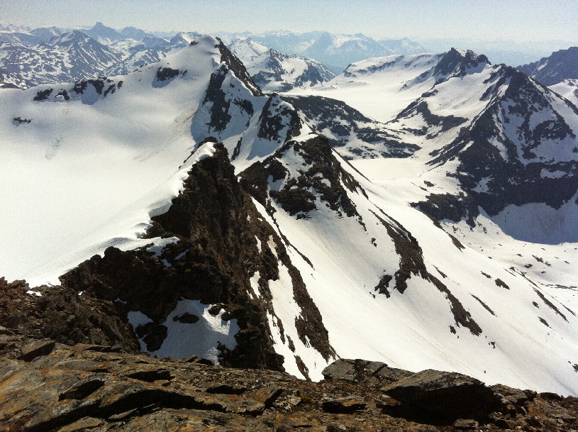
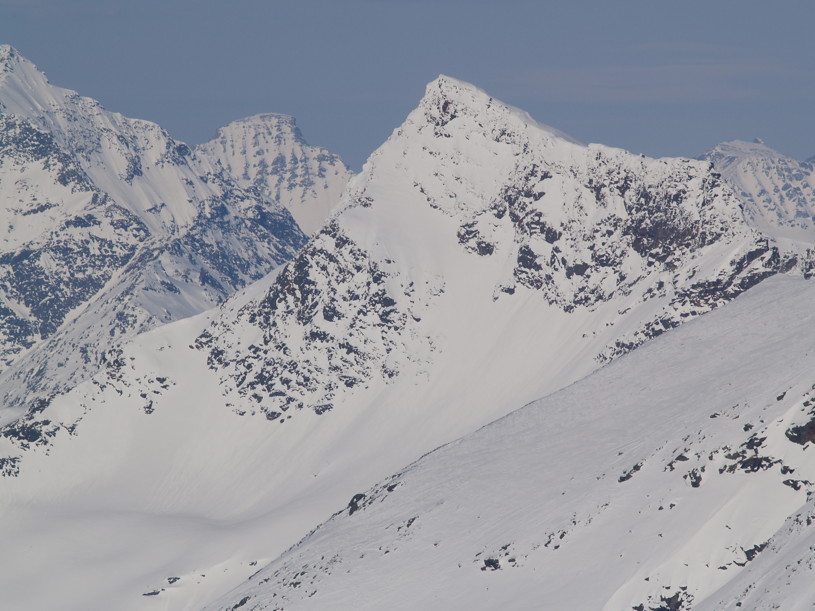
The North ridge of Gaskagáisa as seen from Store Rieppefjellet.